Notes to future CDT Hikers
Honeybuns: Knock on Wood and I thruhiked the CDT in the summer of 2018. Prior to this, we did the Appalachian Trail in 2015, the Colorado Trail in 2016, and 2400 miles of the Pacific Crest Trail in 2017 (fire and ice, etc). I mention this mostly to say we were pretty experienced hikers going into the CDT, and we were grateful for it. The PCT gave us a bit of experience in the desert, we dealt with record snow and dangerous river crossings in the Sierra, and had already hiked most of Colorado. 2018 was a very low snow year in Colorado, which had a significant influence on our hike. Just keep that in mind that a lot of what we say here will vary depending on how much snow your year has.
It’s assumed that the audience of this document has at least one prior thruhike under their belt – preferably the PCT. We did meet a number of people (even in Montana) that did the CDT as their first thru, but they didn’t seem to be loving it.
There is a lot of fear mongering about the brutality of the CDT. It is a hard trail, but as Yogi says, only 10% or so harder than the PCT or AT. You got this!
Knock on Wood: For PCT ‘17 kids, there was only one point on the CDT, an alternate we were bushwhacking, that rivaled the sheer terror of the Sierras in 2017. Most years on the CDT have more snow work and therefore more danger, but you should feel confident.
If anyone reading this has not done any thruhikes besides the AT, I recommend looking a little into 'western backpacking’ before you get started. Some of the main differences include waking up very early (pre-dawn helps in the desert), hiking til nightfall, and usually doing dispersed or ‘stealth’ camping, a little more water planning, a little more backcountry navigation and longer distances between resupplies.
That being said, the basics are the same. Have fun and good luck!
Suggested Reading / Watching
HB: I tend to do a lot of research before thru hikes, mostly because it’s the main thing I think about all winter while working. This isn’t an exhaustive list, but some resources we liked:
Reading
- Yogi’s CDT Handbook - I really liked Yogi’s CT/PCT handbooks, and this one was no different. Before the CT I learned a lot from her general gear advice, and I really like that she gets perspectives from a lot of different hikers. She also does a good job running down the major alternate choices and what each state is like, which got me really excited about the CDT. After reading the first half of the book, we used 1dollarscan to get a PDF of the town guide’ part of the book, which we put on our phones and was a great resource when we were on trail.
- Halfway Anywhere’s CDT Thru Hiker Survey - We used this to inform a lot of alternate choices and where we wanted to send resupply boxes.
- Wired’s Advice to Future CDT Hikers - Hm, sounds familiar. Wired has a great blog and tons of good information. We read a decent bit of her trail journals too.
Watching
Jawnzee’s 2015 CDT Thruhike - I really doubt anybody reading this hasn’t watched this already but if not, do it.
Joe Brewer (aka Backcountry Banter’s) 2015 CDT Thruhike - Jawnzee’s videos are a little too epic and beautiful, and Joe’s feel a lot more like what hiking is actually like to me. Not as captivating, but great to put on in the background when doing chores.
Documentary of the First Women to Hike the Continental Divide Trail - These women are incredible and way tougher than me.
Also random, but the CDTC Twitter was the best way for to hear about fire closures. Even if you don’t use Twitter, it’s an easy website to check.
K: Adding in a few more favorites:
Married to the Trail A first-person narrative of the CDT, which is one of my favorite ways to get hype for a trail.
Postholer’s CDT planner - We used this in conjunction with the Halfway Anywhere survey to rough out our mileage and where we wanted resupply boxes. (We have never put this much legwork into planning the logistics of a hike. I’m glad we did though.)
Our resupply boxes and their contents - The first two-thirds of this are pretty accurate. Once we hit the Winds, we veered off our original plans. However, it was nice to have a list of the contents of all the boxes we had set up, so we could ask for specific ones to be sent to us on our new route, and know what we had in them.
NOBO/SOBO
HB: Historically, SOBO has been more popular, but I think NOBO has been in the past few years - it certainly was in 2018.
NOBOs usually have to deal with snow in Colorado. Possibly even fresh snow. Some years, avalanches are a concern. You are also trying to beat early snow in Montana. On the plus side, New Mexico is a great warm up state - especially the bootheel, because it’s relatively flat. Finishing in Glacier is also extremely choice.
SOBOs will probably have to deal with snow when they start in Glacier, and have the possibility of early season snow in Colorado. Some friends of our were forced down to the Creede Cutoff (thus missing the San Juans) around Oct 1 due to snow. There may be an argument that dealing with Colorado ¾ of the way through trail is good because you’ll be in peak shape, but I’m dubious. Finishing at the Mexican border is probably pretty anticlimactic.
Maps
HB: This can be a bit confusing so let’s lay out the common choices:
The official CDT exists, and is for the most part, well marked. I don’t know of anyone that used “official maps”, or if such a thing exists.
Bear Creek Survey Maps is the source data for the Guthook app, and includes most alternates. They are available in paper if that’s your jam. Guthook is probably the most frequently used form navigation, and a decent amount of people only use that. (K: But they are nuts. Have some backups.) Note that the official Bear Creek route sometimes deviates from official CDT.
 An example page of the Ley mapset in CO
Jonathan Ley curates a map set of the entire CDT. The Ley ‘red route’ (his main route) mostly coincides with official trail, but follows what would be considered alternates in the Bear Creek maps. I think of it as an opinionated route for the CDT. For example, the Ley red route goes through the Gila River, which is not official CDT, but a very common alternate. His maps also contain purple alternates (usually just called ‘Ley alts’) that are smaller than the big named alternates — sometimes it’s some XC cut off distance, sometimes it’s a longer route to hit a scenic spot.
The Ley maps are a very good resource, because they have water sources and notes from previous hikers that are missing from Guthook. We took a lot of Ley alternates, and they are usually great, but I guarantee you will also scream and curse Jonathan Ley too.
Most hikers that carry paper maps print out the Ley mapset, which you can get my emailing him. To get them on your phone, follow these instructions from Ley himself:
If you’re carrying a smartphone with GPS, you can use the free Avenza Maps app. This will enable you to see your position right on the map as you go. These are 2016 data, but I hope you’ll find them useful regardless.
First install the Avenza Maps app from the iTunes Apps store, or Google Play (sorry, no Windows Phone support)
Back on your PC, create a Map Store account on the Avenza website at www.avenzamaps.com and log-in.
Then go here: https://www.avenzamaps.com/vendor/1321/jonathan-ley
“Buy” the maps you need. (They’re all there, and they’re free).
Then go on your mobile device to Avenza Maps, log into your Map Store account, and download the bundles to your device.
Our recommendation - Guthook and download the Ley maps to Avenza on your phone. I was constantly going back and forth between the two. Guthooks is much easier to use but the routes are wonky and the data isn’t great. Ley maps have great data but are a bit of a pain to use because they are basically print maps in an app and you have to constantly switch map pages.
If you decide to get into some adventurous alternates, I recommend the Gaia app for iOS users. Paying for the subscription is a drag, but it was worth it.
K: I also downloaded large batches of Google maps offline for areas when we were taking alternates or needed fire reroutes. There were a few times where something appeared on the Google maps, like forest service roads, that weren’t on the other map sets. Would recommend.
Gear
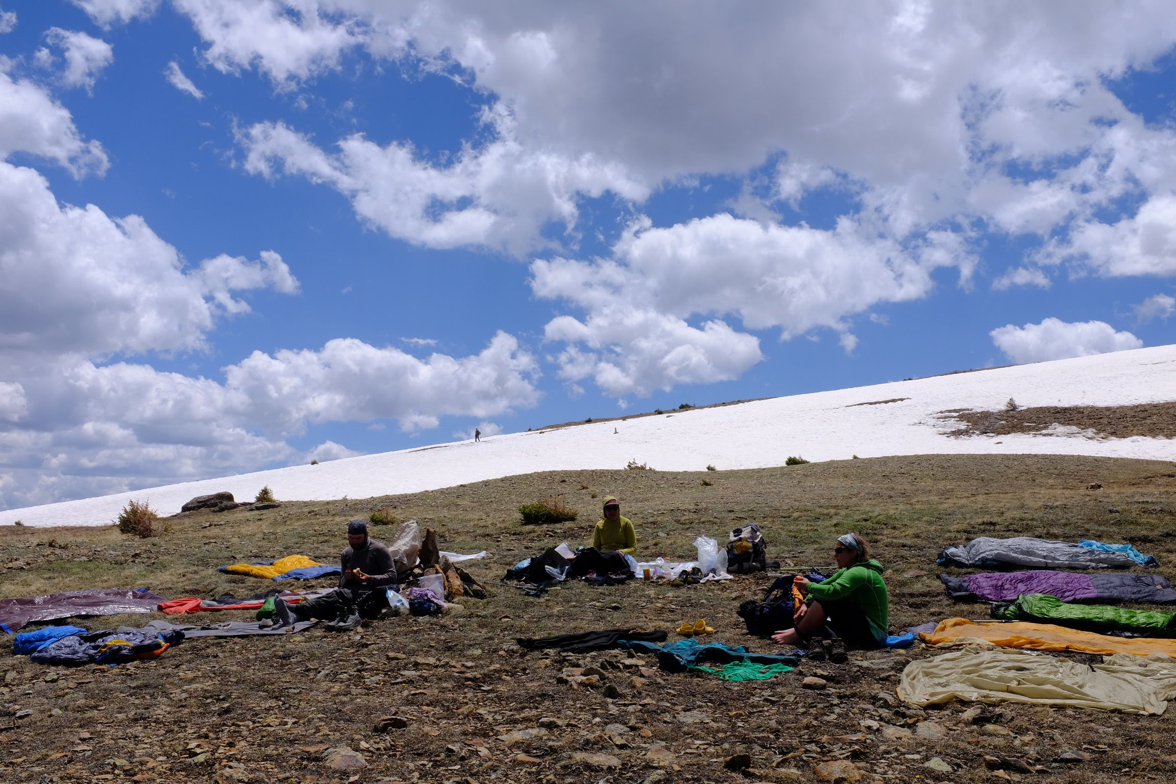 Drying everything out after a storm in the San Juans
We had freezing temperatures in every state on trail, so I’d recommend a true 20 degree quilt or an EE 10 degree. In general the dirt level was not as bad as the PCT so a liner isn’t necessary, but I was really glad we got ours in Montana. Nights in NM and CO were cold, and then again towards the end in MT. Sleep with your filter every single night, because it will freeze when you don’t expect it to. (K: Also: Bear spray! Bear spray is not supposed to freeze.)
Rain jackets of some kind are a necessity. When we got precipitation is was usually brief, but not warm, and we had a few days of 40 degrees and constant rain in Montana. We used wind pants as rain pants on those occasions and they worked pretty OK. I also used my rain jacket on windy ridge walks in lieu of a wind jacket.
When choosing a pack, consider the distance between resupplies. We had five sections that were longer than 100 miles. In some cases the terrain was easy and this wasn’t an issue, but in others, we’d be carrying 5 or 6 days of food.
Virtually everyone just sleeps with their food in NM/CO, and we’ll get into grizzly country later.
Consider that there is a lot of sun exposure for the entire trail. We both wore sun hoodies and love them until switching to synthetic zips as it got colder in MT.
K: I carried my bug head net for the entire trail and had no regrets. There were quite a few places where, after a long time of seemingly bug-free trail, you would walk into a wet area that was swamped with mosquitoes or gnats.
Keep in mind you will be walking by the Melanzana store in Leadville, so save up a little money for a nice new fleece there.
I also was really happy we had the Garmin InReach. We used it maybe a dozen times for weather checks, and every day for checking in with parents and logging our camping location. But it was a nice security net for when we had to go a bit off-book, whether for a fire reroute or for an alternate, as there are some pretty remote places out there.
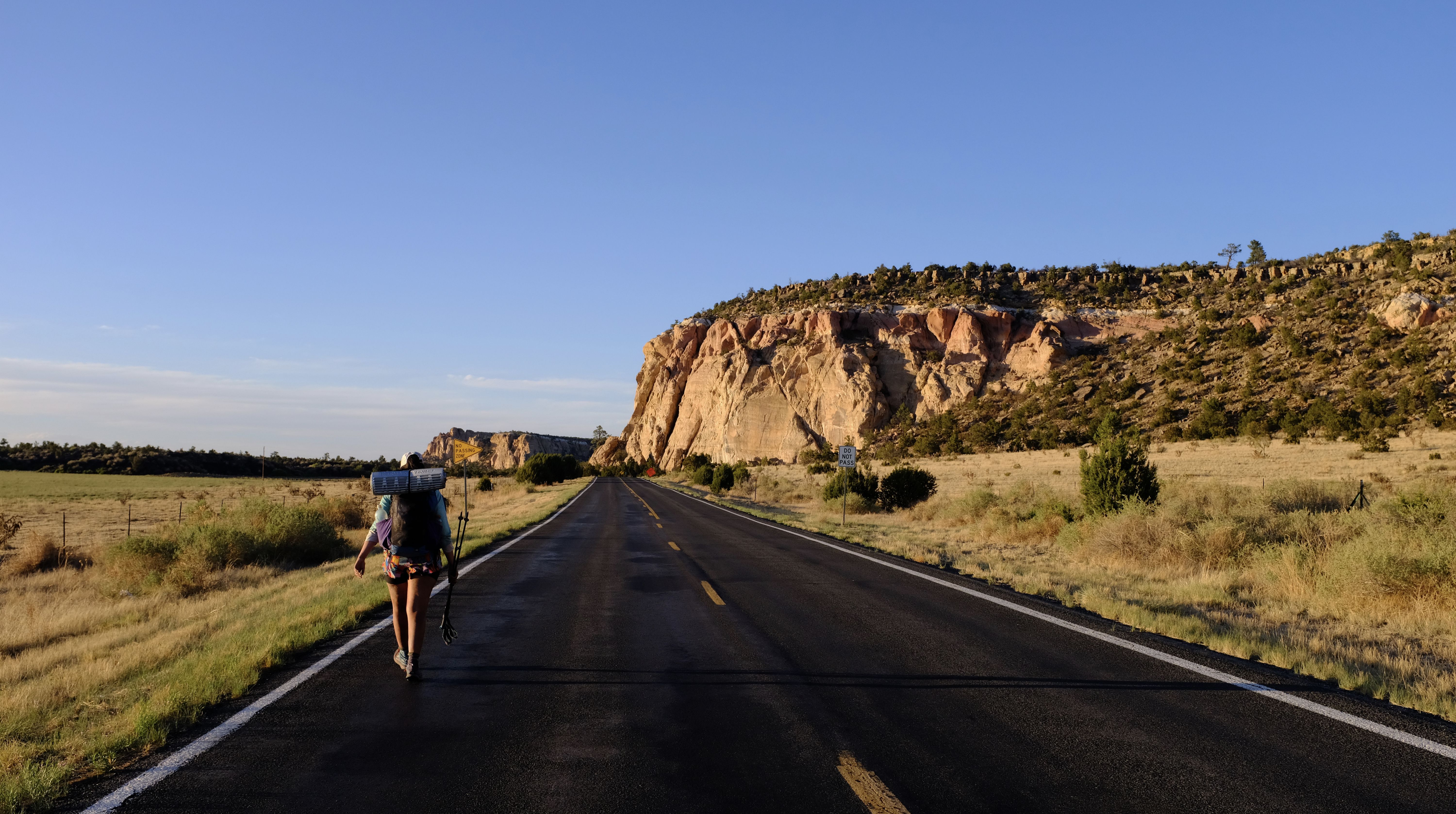
New Mexico
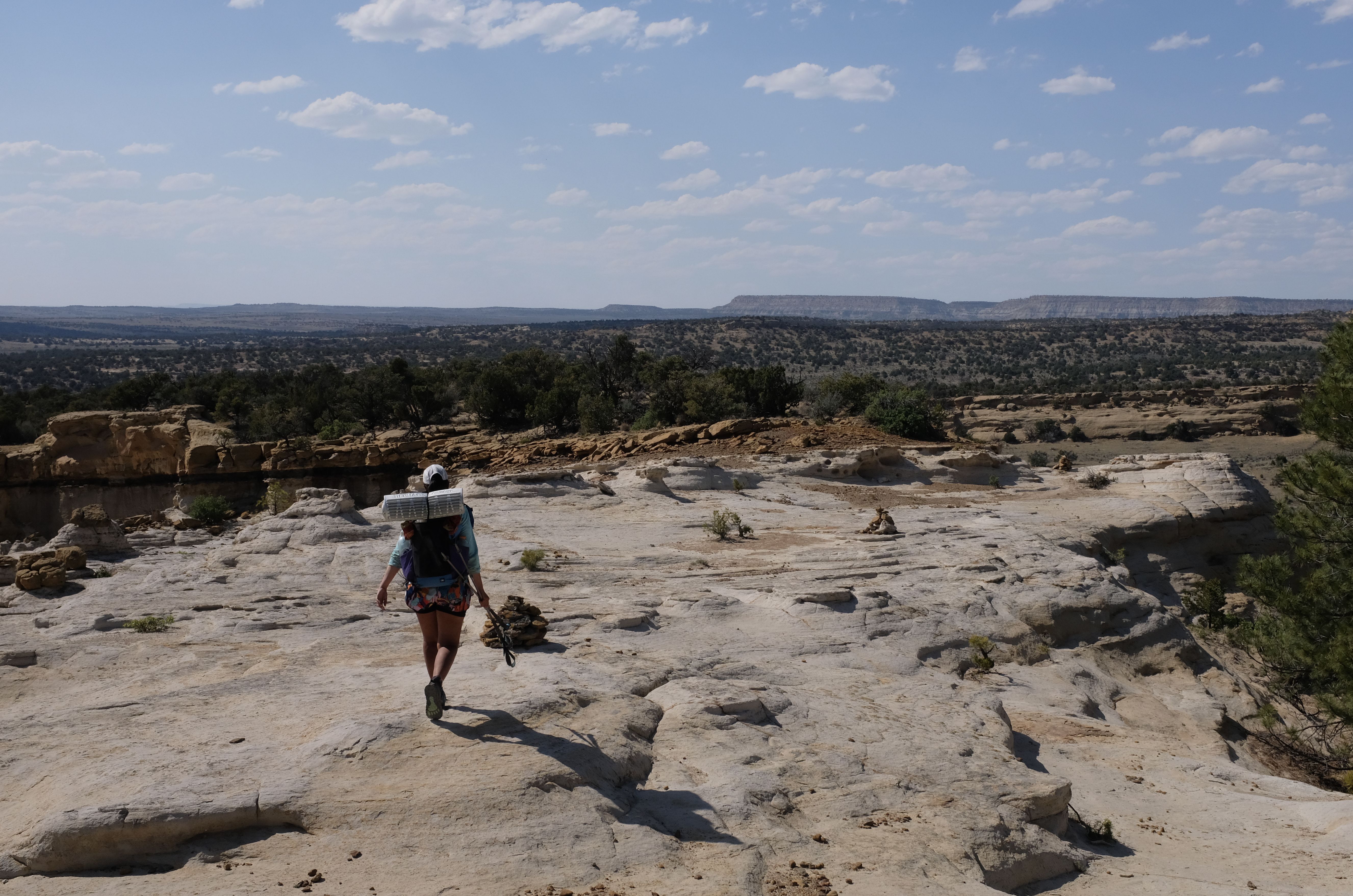 Hiking up and down mesa’s south of Grants NM
HB: For NOBOs, the first big question in NM is which terminus to start at. We didn’t talk to anyone that started in Antelope Wells, and only maybe one person who did Columbus. Probably 95%+ of people start at Crazy Cook now, and take either the CDTC shuttle or Buddy BackPacker’s shuttle.
We started April 29, and were happy with that date. CDTC shuttles will fill up, so book early.
Our logistics to get to the terminus - flew into El Paso, took a Greyhound to Lordsburg (border patrol checked out our bus on the way), and got picked up in Lordsburg by Dion, the Buddy Backpacker Dad, who took us down to the teeny-tiny of Hachita. Dion rented out the community center there where we stayed the night and then drove out to the terminus early the next morning. His shuttle gets there before the CDTC one, which is nice. We met everyone else who started the same day anyway; the Crazy Cook to Lordsburg section (aka the Bootheel) is very water-cache-to-water-cache and there isn’t much shade (umbrellas are a value-add item).
Sometimes people drive to the terminus themselves, but I’d strongly advise against it - it’s unmarked roads with massive ruts. The CDTC shuttle includes water caches, but if you don’t take their shuttle you can still donate $10 to them for access to the caches. Between the terminus and Lordsburg we hit the five caches and I think two other water sources. You’ll learn to love solar wells and windmills and make friends with cattle.
There isn’t a water report like on the PCT, but people use the Guthook comments to approximate it.
K: We had heard lots of horror stories about fetid water sources and were bracing for the worst, but it really wasn’t too bad. Comparable to the PCT desert. There were a few times that we ended up at some tractor tire cow troughs, and for those we did both a Sawyer Squeeze AND a Aquamira treatment. Probably overkill, but it gives a little comfort. Make sure you’re always aware of what your next source is and if there are any alternatives that may have better water. Also keep your eyes up; a couple times we spotted unmarked solar wells for some nice water.
HB: The Bootheel is also a great place to start DIYing your route. Look at the Ley maps and Guthook. Maybe following the road to avoid a PUD sounds good to you, maybe not. Lots of short alternates to do here.
Be forewarned there is a big road walk into Silver City. We walked in on NM-90, and it sucked - hot, dry and next to the highway for 10+ miles. I don’t think the official route is much better, but maybe it is. We actually did every road walk in NM, but by the time we were in MT, would hitch any highways.
K: There are two ways into Silver City — the NM-90 route we did or the official, which has some major arroyos. Our shuttle friend Dion strongly recommended the former. There’s an RV park (Burrow Mountain Homestead) just off this alternate that is super hiker-friendly and provides wifi, showers, water and camping for free. Be nice to them, we love them.
HB: Silver City is a cool little college/artsy town. Decent brewpub. We were there for CDT days just before we started trail, which was cool - met some current thruhikers and well-known previous hikers, they had a big gear raffle we didn’t enter, and learned some stuff at the talks. Significantly smaller and chiller than AT/PCT trail days. We took the Walnut Creek Alternate out of Silver City, and would recommend that since it’s more direct.
Almost every town in New Mexico had some kind of store store (grocery, Dollar General, Walmart, etc) that has dehydrated refried beans. If you haven’t tried them, give them a shot - great mixed into just about any cooked meal, and fritos + beans is a great no cook meal.
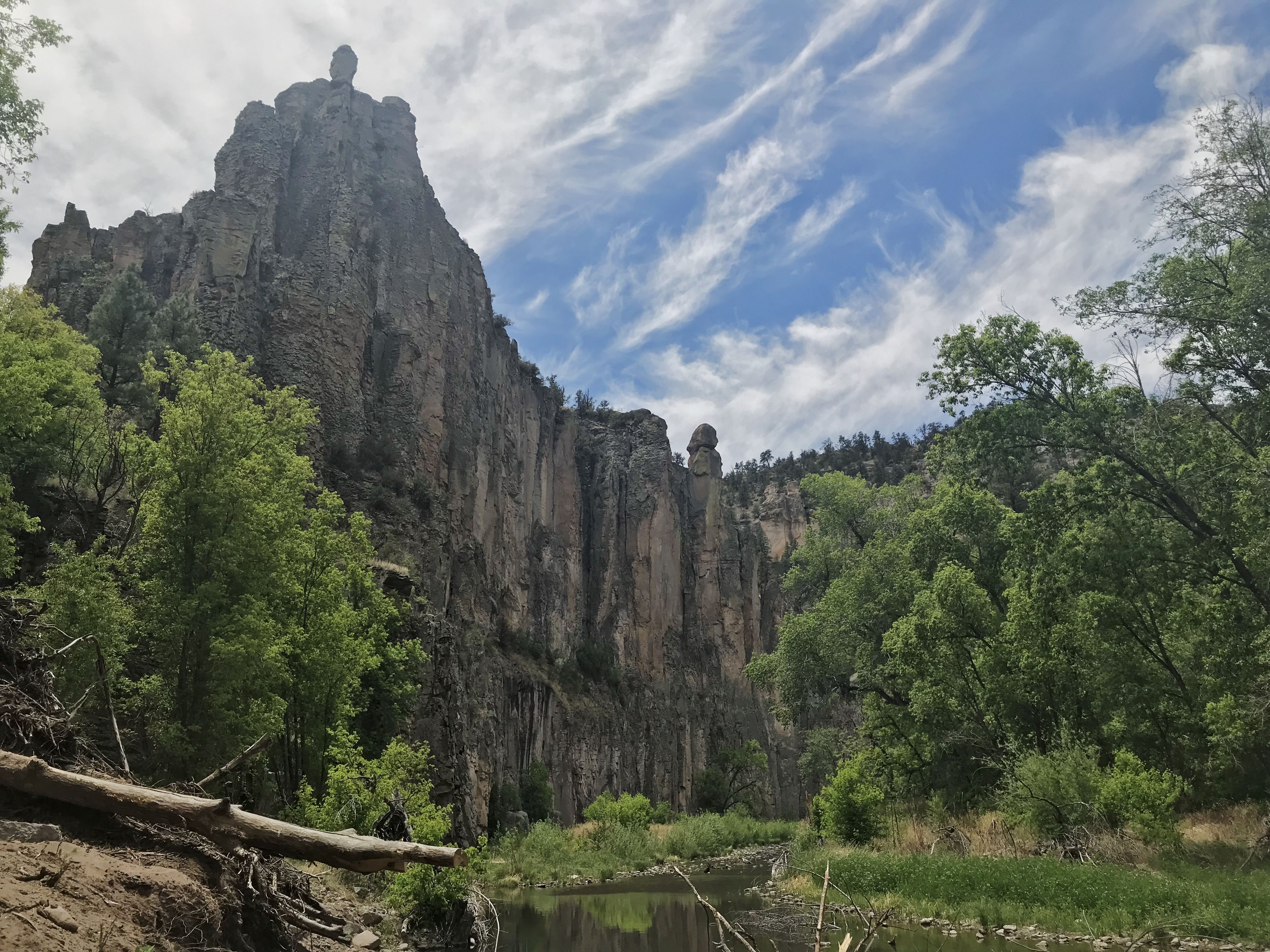 The middle fork of the Gila River
The absolute highlight of New Mexico is the Gila River. Hiking through a river canyon like that was really unique, and it’s just absolutely beautiful. That said, we were glad to get out of there when we did because the food carry is long and constantly going in and out of the water can really dry out your skin. A lot of people got painfully dry skin, so think about putting a bit of moisturizer in your box to Doc Campbell’s. Check out the Gila Cliff Dwellings, take the Little Bear Canyon Ley alternate, and hit up Jordan Hot Springs.
K: I would strongly consider doing the Gila river walk for most of the alternate until the path crosses the Gila high route again. Depending on how you’re feeling and the weather, getting out of the river at that point may be nice. I had some pretty painful cracking of the skin on my legs from the constant immersion then drying, plus bush-whacking.
HB: We did a long food carry from Doc Campbell’s to Pie Town, but supposedly Reserve has a decent resupply too. Everyone that hitched into there seemed to like it. We took the “Pietown Road Walk Alt” (blue route), which is confusingly named because it actually has a shorter road walk then the official route. Would recommend.
The Toaster House in Pie Town is a really good place to zero — Nina opens it to hikers and cyclists, it’s got camping and rooms and couches, a full kitchen, laundry and a shower. It’s very DIY and volunteer, so do some cleaning and/or make a donation. It’s definitely a vortex. Know that there are couple restaurants in town but absolutely no store. Mail a box or raid the massive hiker box.
 Road walking into Grants
Between Pie Town and Grants was my least favorite part of trail - something like 50 of the 75 miles in that section are road walking, on either gravel or paved roads. Water is pretty scarce in this area, so have a water plan when you leave Pie Town. We took the Cebolla (brown) alternate just to break up the road walks, and that was actually a pretty nice area. Walking in to Grants on the official route was among the worst I ever felt on trail since my feet and legs were destroyed by all the road walking, so it may be worth considering the Bonita-Zuni alt.
Grants is extremely spread out and sort of a pain to get around. Note that the post office is far away from things so we burned a good part of a zero picking up a package. Stay by one of the cheap motels by the Walmart, and grab some incredible and cheap breakfast burritos at Blake’s Lottaburger on the way out of town. Yes, they have veg ones.
K: The brewery you pass on the way into Grants is good and technically on-trail. Don’t miss it!
HB: We skipped Mount Taylor because of the time of day when we got there, but people that did it seemed to like it. Other than the Gila, the north half of NM is better than the first half. The area south of Cuba has some classic big desert views, buttes and sandstone and plateaus - a sleeper NM highlight. A lot of people speak highly of Rebel’s Roost in Cuba as another quirky hostel/trail angel, but we missed it.
We did the Ghost Ranch alternate (green) and mailed a box there. It’s a very striking area, but the climb out of there was really rough - super hot and steep. The cafeteria breakfast was extremely meh for vegetarians for what it’s worth. No strong recommendation on doing Ghost Ranch or official here, but it’s a good option if it works for your resupply strategy.
K: I have more fondness for Ghost Ranch than HB, it seems. The scenery around there is quite pretty and the Georgia O'Keeffe connection is neat. But we made the mistake of leaving in early afternoon and it was insanely hot and exhausting. Try to leave at a cooler time of day. Also, there’s a Ley alternate into Ghost Ranch that is a big help, following a fenceline instead of the road.
HB: One final thought - be aware fire closures happen in New Mexico. Parts of the Gila River closed on May 24 2018, and Sante Fe National Forest closed May 31. Try to get ahead of that if you can.
K: Concur ^^. New Mexico generally is a good place to try to grind out some miles and keep your nose down. Save up your free time for cooler sights later.
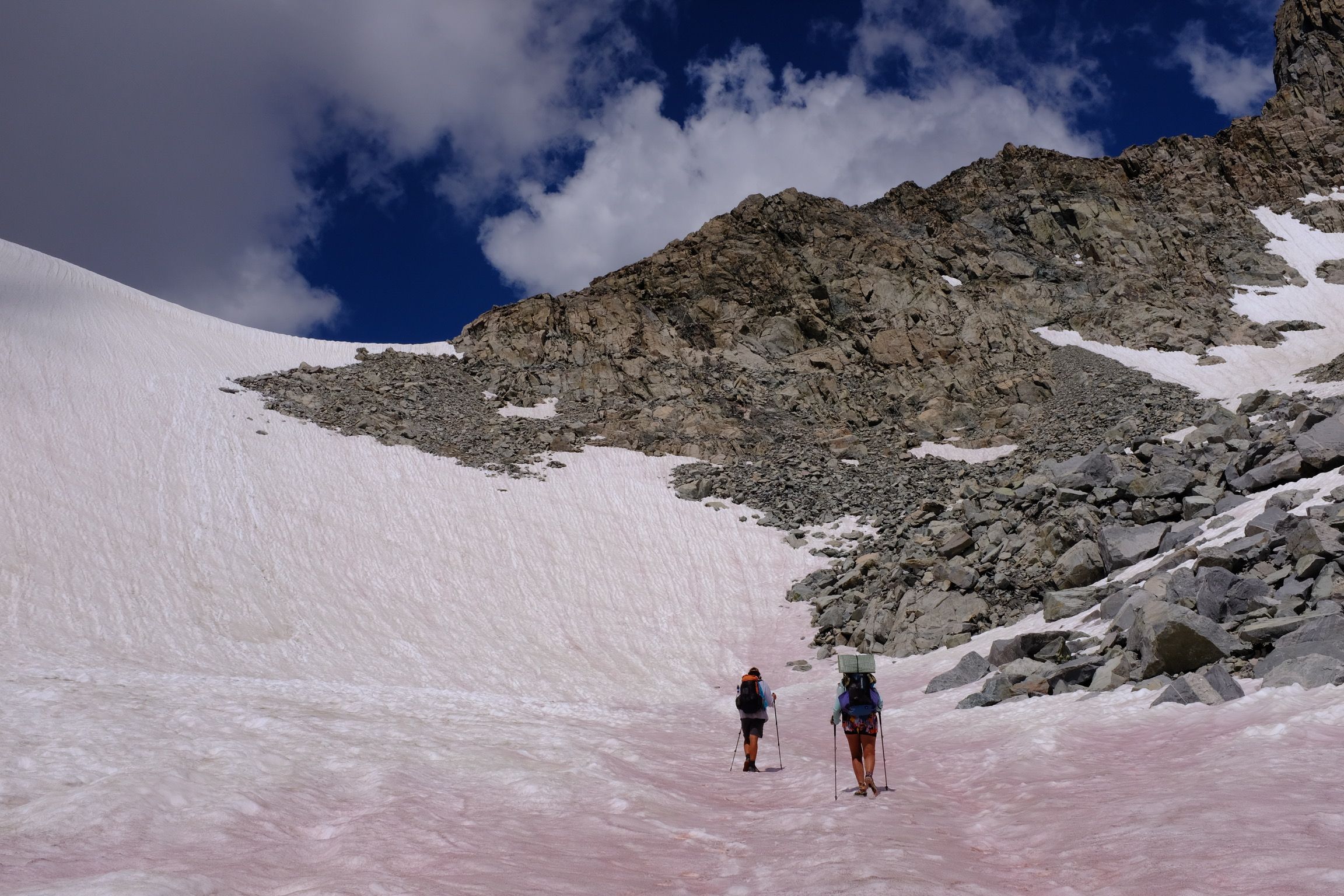
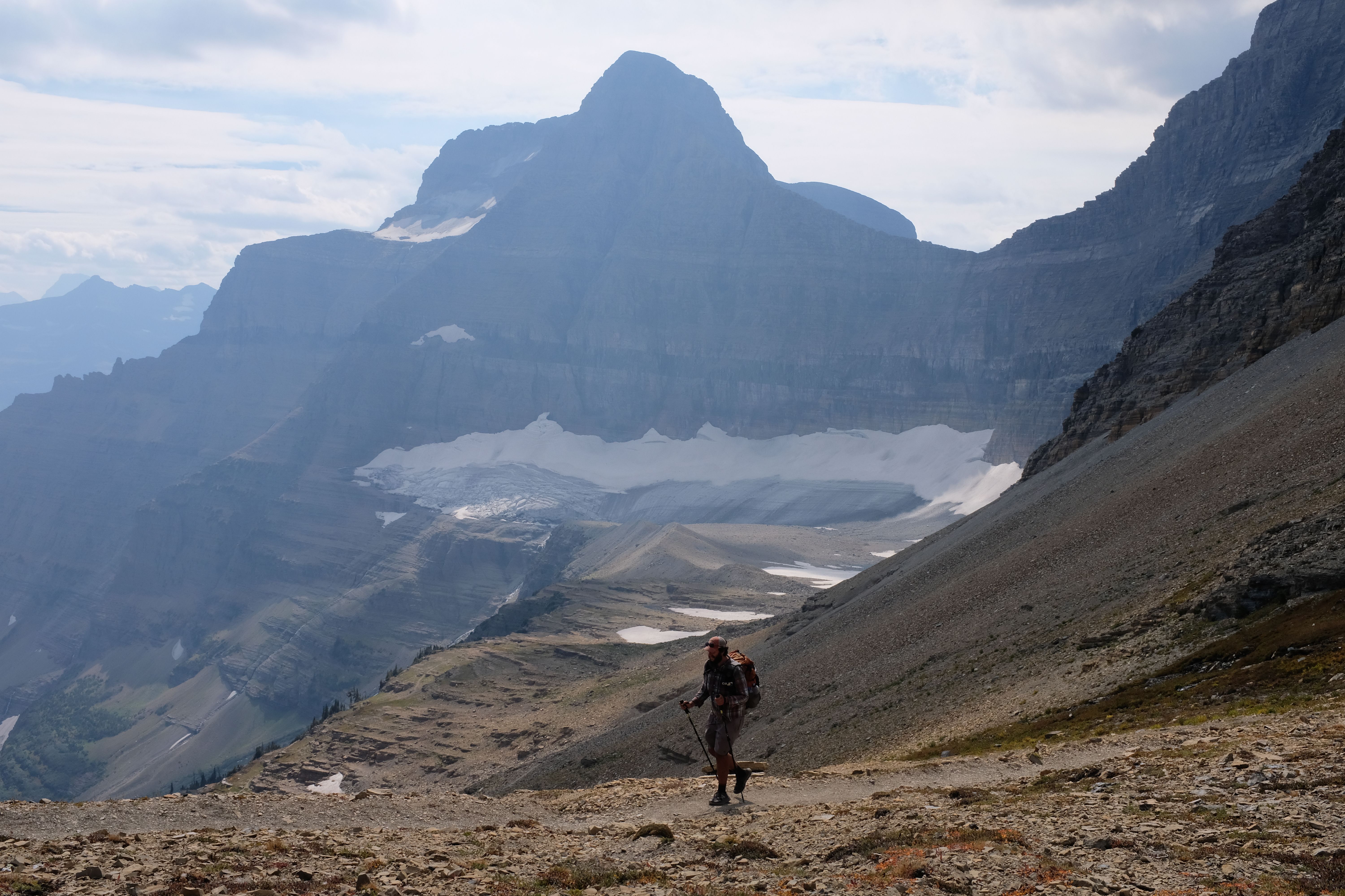
Colorado
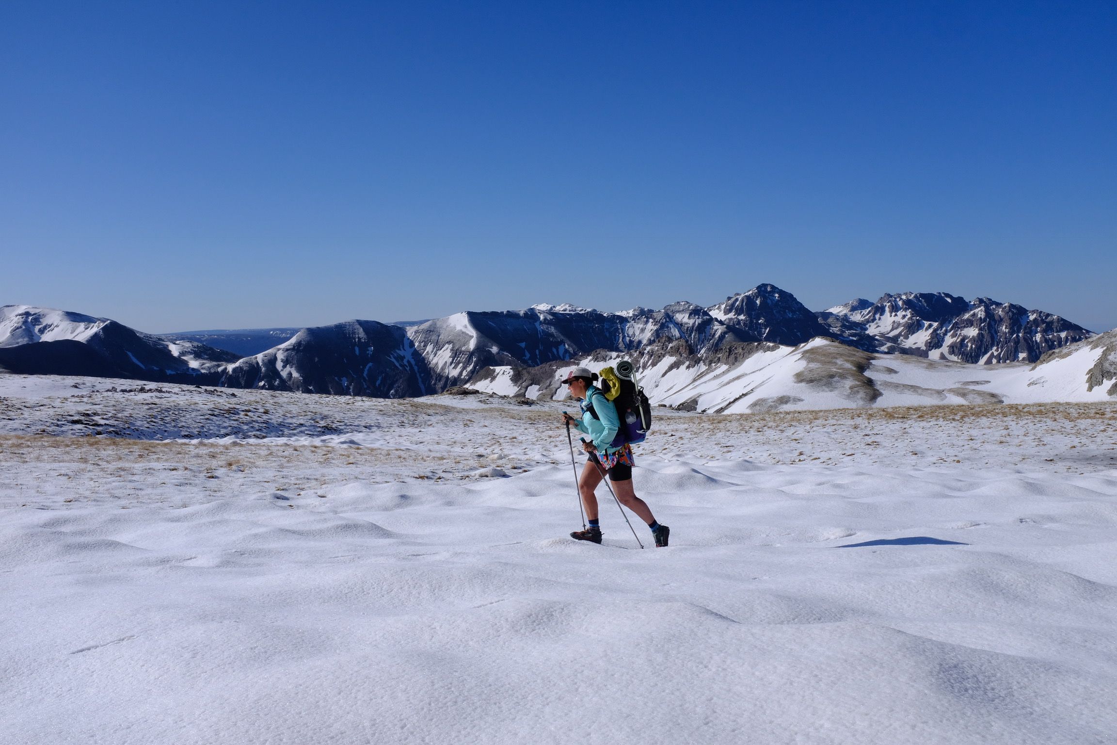 Above treeline in the San Juans
HB:(( Just a heads up, mile per mile, CO is probably the hardest state on the entire triple crown. You are at high elevation for a long time, and the up and down is unrelenting. Colorado made me question if I actually liked ridge walks or not.
K: I cried a lot.
HB: Elevation can play tricks on you, but remember you are getting a lot of sun exposure, and you won’t notice your are sweating - make sure you are staying hydrated.
Confusingly, right after crossing into Colorado you’ll hitch back down south the Chama in NM. There isn’t a ton going on in Chama but it’s a nice little town. We split a big room at the Y Motel with a bunch of hikers, which works well because there is a supermarket just across the street. Our room had a kitchen. Plan to pick up your snow gear here. Caveats about low snow aside, we carried microspikes, ice axes and waterproof socks. The waterproof socks were choice because even though there wasn’t a lot of it, San Juans snow isn’t like the packed-down snow of the Sierra - there were still drifts and postholing and lots of wet feet. It kept us warm and happy. FWIW, we hiked out of Chama on June 1, which was day 34 for us.
We had one bad storm between Chama and Pagosa Springs that we knew was coming from weather reports. We ended up only doing ~6 miles that day because we weren’t about to head above treeline for 8 miles when there was lightning and thunder. Be very aware of the weather and know how long you’ll be exposed before going above treeline - sometimes it will be for many miles.
K: You should of course plan on your mileage dropping in the San Juans. The Postholer app can help you with these predictions.
HB: We only had one sketchy snow traverse where the ice axe was useful, but we did use the microspikes a number of times. In general, I’d recommend reading elsewhere about CDT snow advice.
 #nofilter. This was all smoke from the 416 fire near Durango.
If at all possible, you’ll want to follow the official CDT through the San Juans. Our experience there was marred a bit by smoke from a fire near Durango, but it’s beautiful alpine hiking. Once the CDT connects with Colorado Trail near Silverton, the trail quality goes way up and stays good for most of CO.
We went into both Pagosa Springs and Lake City. In general, lodging and food in CO are notably more expensive than other states, so plan accordingly. (K: However, restaurant food is generally easier for vegetarians than in NM!) Pagosa is probably your first spot to hit a dispensary. However, it took us two hours to hitch back to our hotel from the far-from-downtown Walmart because white women in Range Rovers just kept avoiding eye contact with us.
Lake City has a limited/disappointing store, despite pretty good notes in Yogi; we’d mail a box there if we did it again. We mailed our snow gear home from there, but again, we had much less snow than other years.
K: There’s a reportedly good hostel in Lake City, though we stayed elsewhere. Warning, there’s VERY VERY little phone service in Lake City, on any carrier. There are a couple public wifi spots and the cafe has wifi.
HB: If you are interested in 14ers, there a couple that are Ley alternates. The most common is Mount Elbert, the CO high point and second highest point in the continental US. We did it when we hiked the Colorado Trail, but skipped it on the CDT. If you want to do it, try to summit early. The trail is such that you can do it as an alternate and not have to backtrack on the CDT.
Leadville and Salida were our favorite trail towns in CO. Leadville is the highest incorporated city in the US, has an awesome view of Mount Massive and is home to Melanzana. There are two hostels in Leadville, but they book up so call at least a few days ahead to get a spot. Salida has a really cute downtown on the Arkansas River, a Walmart, breweries, a hostel, good outfitters and lots more. We strongly recommend Moonlight Pizza there, especially the ginger beer.
K: When looking for a place to stay in Salida, look for a downtown place near the river, rather than the area by the highway. The cool food and sights are downtown. We hit Salida for FIBArk, an annuak boating/artsy festival. That was pretty rad but it did mean a lot of things were booked up. Keep an eye on the calendar and try to book a hostel spot in advance if you can; there are lots of concerts and summer events in Salida.
HB: One of our favorite parts of Colorado is the section between Salida and Twin Lakes. Great views, and tons of time above treeline. Hope Pass on the south side of Twin Lakes feels like an endless climb, but it’s more long than steep. (K: Strong disagree. The first part of that climb is steep as fuck. But it’s insanely beautiful and worth it. There’s a little campsite midway up that’s a good spot for a snack break and contemplating your life choices.)
There should be a Ley alternate to go clockwise around Twin Lakes rather than going all around the lake counter-clockwise. Definitely do the alternate there. Lots of stealth options in and around Twin Lakes, and the gas station is friendly enough to let you charge phones and drink a beer or two outside.
K: There are no public toilets at the Twin Lakes general store and by all accounts, the public toilet across the street is rull gross. Do your pooping on trail. DG also hitched to visit a friend in Aspen from here, without much difficulty.
 Walking the bike path between Copper Mountain and Dillon
HB: We opted to do the Silverthorne alternate and skipped Grey’s/Torrest because we were feeling beat down at this point and didn’t want to do 14ers. We actually walked a very chill bike path from Copper Mountain ski area into Dillon rather than the normal alternate. Everyone that did Grey’s spoke highly of it (and a lot of them saw mountain goats), but since it’s a very accessible area, we’ll probably try and go back and do it someday. Note that although getting into Silverthorne was easy, there was some unexpected XC and some missing trail on the way back to the CDT north of Silverthorne.
Rock Mountain National Park requires bear cans so most hikers take the orange shortcut route to skip most of the park. We wanted to see the park though, so we stayed two nights at the very cool Shadowcliff hostel in Grand Lake (highly recommended), and did a 26 mile loop through the park as a day hike. I was nervous about the distance since we weren’t doing as many miles in CO but since we only had daypacks it flew by, and you get to feel cooler than the people that do the same hike over four days. (K: “What is the point of thruhiking if not to condescend to others?” — Honeybuns, somewhat joking)
HB: The trail was very well-maintained and we saw a family of moose, but honestly, it wasn’t much more remarkable than a lot of the above treeline sections we’d already done a lot of in CO.
Approaching Steamboat Springs had a surprising amount of road walking, since we really hadn’t done any since NM. It’s another expensive resort town, but thankfully the last for a while. You’ll have to decide here if you want to go into Encampment/Riverfront which can be a hard hitch, or if you want do the long food haul to Rawlins.
Wyoming
 Knock and DG north of Temple Lake on the Cirque of the Towers alternate
HB: Our favorite CDT state! We didn’t have much of a preconception about Wyoming but ended up loving it. Great ready for the Great Basin (aka the Red Desert to locals), the Winds and Yellowstone.
We picked up a mail drop in Encampment and camped at a donation RV park in town, and I think Riverside actually has a convenience store of some sort.
K: The Encampment RV park is literally a donation-based patch of grass by the senior center. There’s a toilet and a spigot but no shower. The little coffee shop in Encampment next to the Post Office is lovely though the breakfasts are very small. The Riverside RV park is a longer hitch but has showers, more people and amenities and costs some small amount of money.
HB: Around Sage Creek Road (Guthook mile 1570), you’ll start the Great Basin. Wide open spaces for miles and miles, and some of the rare water sources are too saline to drink.
K: There are a couple routes in here. They were doing major construction on the highway as we walked, so this area may look different in the future. Pay attention to the Ley options and bring lots of water. We did find a decent spring just after the salinated flats.
HB: We mostly followed the red route and I think took a Ley alternate into Rawlins just to mix it up a bit. Rawlins is kind of spread out, but hit up the Thai AYCE buffet at Anong’s. The buffet is disappointing for vegetarians, but we ordered some delicious entrees off the menu.
 Sunset in the Great Basin
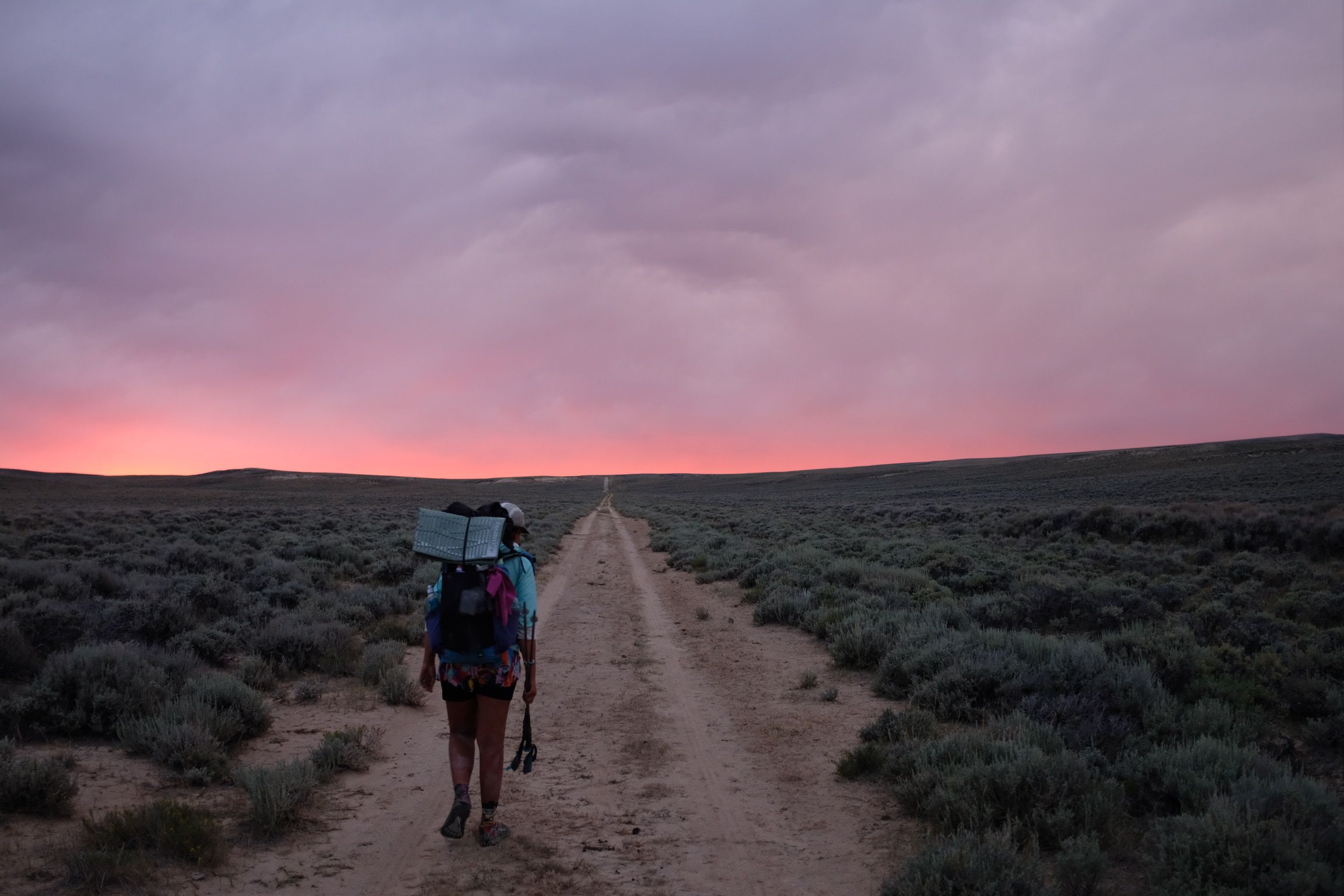
The Basin is a vast and monotonous. It’s an pretty interesting geography though, and certainly one of the more unique areas we hiked through. We aren’t big mileage hikers, but did the 121 miles from Rawlins to Lander in 4 full days (left Rawlins after dinner and got into Lander first thing in the morning). There really isn’t anything to do but keep hiking there and get water. Definitely load up on podcasts before.
K: There is literally no shade, so bring an umbrella. We also easily hit 30s with like no prior planning or waking up extra early or anything, because you literally don’t want to do anything besides keep moving.
HB: Lander was one of our favorite trail towns. NOLS is headquartered there, and they have an incredible bulk food / gear store at 502 Lincoln Street. Probably our favorite resupply on trail, and cheap. We went into Pinedale to resupply in the middle of the Winds, but this would be an excellent spot to load up if you want to do a long food haul through all of the Winds. We also picked up bear spray at the NOLS gear store, and they gave us a solid discount since we were CDT hikers. Lander also has free camping in the park.
K: We picked up a bunch of dried veg packets at the Lander NOLS store which lasted us for weeks. Also, there are a few different NOLS-branded places around town, so when google mapping, look for ‘NOLS Rocky Mountain.’ The shop has a sign that says ‘Gulch.’ Has used and new gear.
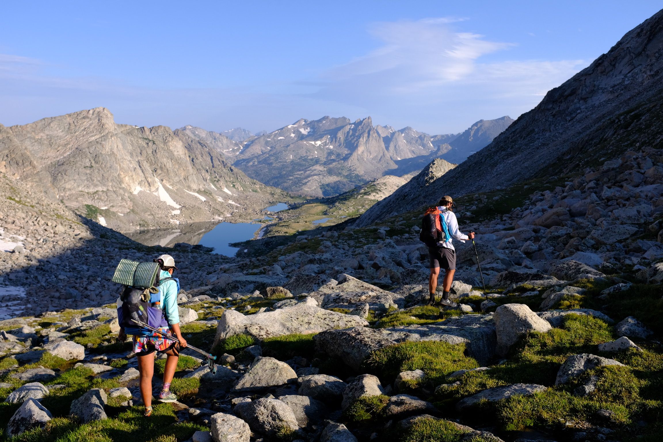
HB: Immediately after leaving Lander you enter the Wind River Range, which is an absolute highlight of the entire CDT. It’s pretty tough hiking so our mileage dropped considerable, but it’s beautiful. Do Cirque of the Towers (blue), but know it’s slow - we had a 12 mile day going over Temple, Jackass and Texas Pass. Some of the best alpine lakes of the CDT are in this section. Texas Pass is part of some Wind River High Routes too, and it’s easy to see why - it’s a big climb, and if you try to follow the Ley route, there really isn’t any trail. Several hikers around us talked about trying to incorporate the high route into their hike but didn’t, mostly due to the time/food carry required. That said, this area is so good, it’s near the top of our list for future hikes.
 Knock and DG approaching Knapsack Col. We took the rock scramble route on the right side.
We did the side trail into Pinedale, which felt like a quick ~10 miles or so. The trailhead there is busy so you should get a ride pretty easily. We strongly recommend taking the Knapsack Col (pink) alternate too. It’s probably the hardest pass on the entire CDT - there was still a decent amount of snow and we didn’t have any microspikes/ice axes, so we did a rock scramble up. Incredible views and really fun climb though.
K: Good beer in Pinedale. There’s a free church hostel called St. Andrew in the Pines, a few doors down from the outfitter. Go down their driveway to the first floor door on the right, and there’s a sign with info for staying. The outfitter there is really good too. I would really recommend going to Pinedale, rather than trying to push through the Winds in one fell swoop. The whole area is SO beautiful and rugged and you want to enjoy it, rather than lugging a massive pack around.
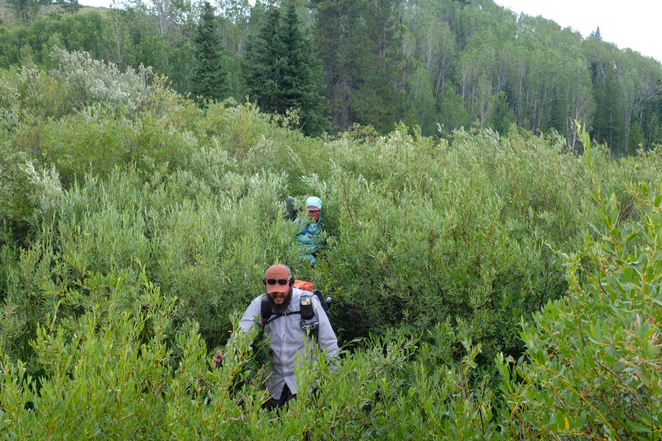
HB: North of the Winds is where we started to significantly divert from the official CDT. Our group of three really wanted to see the Tetons, and we met up with some friends in Pinedale that had designed a route (The Greater Yellowstone Traverse) coming from there and just hiked it coming south. This is not a common alternate, so at this point, we started using Gaia and linking together route files from a couple people. Francis Tapon was probably the first person to write about doing the Teton’s as part of the CDT, but has removed his GPX file from the internet unless you do some Google cache / Wayback machine digging.
 Bushwhacking to get into the Gros Ventre wilderness
We went through the Gros Ventre range to cut west from the Winds to the Tetons. It’s an incredible mountain range, but also remote and somewhat neglected because of the more famous ranges in WY. Getting into the Gros Ventre was difficult - the route we had planned didn’t exactly go due to some roads and 4x4 trails on forest service maps not actually existing or being extremely overgrown and private property. We did a lot of bushwhacking and adjusted our plan several times, but this was the kind of CDT experience we had long dreamed about - making your way across rarely traveled wilderness.
K: Type 2 fun. The bushwhacking was INTENSE. The above picture was NOT fun.
HB: Jackson is a rough town for hikers – it’s expensive as hell. There is a good free bus and great library though, and we were lucky enough to meet a trail angel at the post office that put us up. (K: Read: he offered us a shower, we parlayed that into a stay.) We took some time here to get maps of Yellowstone and called ahead to set up our backcountry permits.
K: Some people have told us to hitch and stay across the border in Idaho instead of Jackson; a lot of the not-fancy people who live in Jackson commute in that way.
HB: Fortunately, the geography of Teton National Park is such that we were able to always camp in the national forest to the west of the park, meaning we didn’t have to get backcountry permits or carry bear canisters. That said, this is definitely grizzly country, so it’s wise to be hanging your food. We made sure to cook early and hike for another hour before finding a campsite, and would tie our Ursacks to a tree. Probably overkill, but it gave us peace of mind and we never had any problems.
Getting to see the Teton’s up close was really cool, but smoke from fires did diminish the experience. We took a pretty aggressive XC path up from Lake Solitude to connect the southern part of the Teton Crest Trail to the northern half. The north side of the park was also a bit of a drag - lots of burn areas and unmaintained trail made it a slog.
We hitched out to Flagg Ranch and then down to Colter Bay to resupply, which took most of a day because National Park tourists don’t like hitchhikers. (K: The Flagg Ranch breakfast buffet was the best National Park food we found.) From there, we kept following the Greater Yellowstone Traverse route into SW Yellowstone itself. We got to see a lot more of the park this way - the official CDT is really a small section that people tend to blaze through in 2 or 3 days.
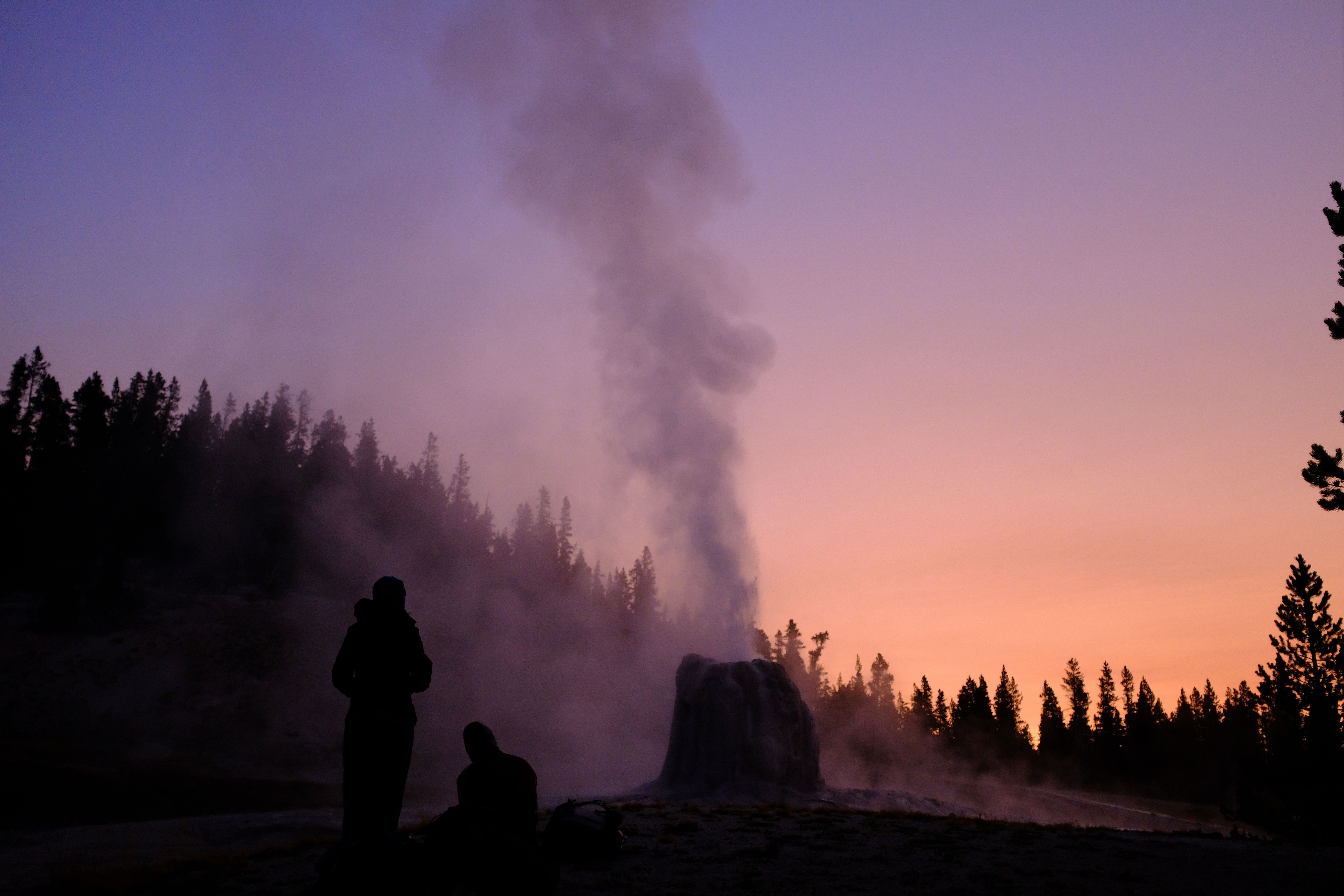 Sunrise at Lone Star Geyser
Old Faithful was pretty disappointing, but if you can get a campsite nearby, try to see Lone Star geyser at sunrise. We were the only people there, which was a great experience. Around Old Faithful Village we split off the CDT again to take the Big Sky alternate. This would let us see more of Yellowstone, go through Big Sky to see a friend, and hey, cut off the ID/MT border which a lot of people had told us was full of PUDs.
In large, I think Yellowstone was neat but underwhelming. The crowds and road crossings are a bit of a bummer, and you just never feel very remote. We did see a bison which was kind of cool, but not a big herd or anything. On the plus side, you will see so many dang geysers and some of the springs (Grand Prismatic) are unlike anything else you’ll ever see on trail.
K: Final notes: or those hikers who enjoy… uhh… the fruits of Colorado, have a care when you enter Wyoming. By all reports, Wyoming is STRICT with drugs offenses. Also, north Yellowstone was very low on potable water. The groundwater has a lot of sulfuric hot spring water flowing around. If you see your path is taking you near thermal areas, bring lots of extra water. If the water is warm, don’t drink it.
Montana
 Walking the divide north of Lincoln
HB: Almost there! The big highlights of Montana were the Spanish Peaks (if you are on the Big Sky alternate), the Bob Marshall Wilderness, and of course, Glacier National Park.
We unknowingly entered Montana in Yellowstone, and headed towards Big Sky through the Gallatin Wilderness. Some cool ridge walks in there, and a ton of different routes you can do. Big Sky is a bourgeois town, but at least resupply is easy. Despite what lots of people tell you, we’d recommend not taking the XC routes in Spanish Peaks, especially for NOBOs - we ended up in a sketchy situation with a super steep scree descent. Spanish Peaks feels like a mini Sierra Nevada though - alpine lakes, lots of healthy pine, and good views.
After Spanish Peaks, the Big Sky alternate is pretty forgettable getting up to Butte and back onto official trail. We walked out of Butte on the “Butte Connector” (brown) alternate on August 20. Around here temperatures started dropping and the rest of trail, nights were pretty cold and we were very careful in rain to stay warm.
 Lodgepole pine for days.
A lot of Montana is uneventful hiking through lodgepole pine, but don’t worry, there are a bunch of sneaky exposed ridge walks north of Lincoln too. Lincoln is another favorite trail town - small, but has a good grocery, cheap motels, friendly locals at the bar, and a free sculpture park that is well worth a visit. (K: Local angel Gary can hook you up with a ride out of Lincoln: 406-781-7111.)
After those ridge walks, you drop down into a river valley and enter the Bob Marshall Wilderness. Word to the wise - there is a significant amount of burn area in the Bob. It’s still a great area and fun because it’s scenic and remote, but fires have really ravaged the area the past few decades. You should see the Chinese Wall in here, although we didn’t get to due to a fire reroute. (K: Very little service in here. The Bob is real remote. Make sure you have all your maps downloaded before you get in there. Because it is frequently on fire, download maps for the surrounding areas, not just the CDT, too. We ended up using a combination of different maps for our fire reroute, including a GAIA map and the GPS app that came with our InReach.)
We heard numerous stories about packages being stolen from Benchmark Guest Ranch, and didn’t want to deal with their fee/delivery system, so we hitched out to Augusta for a resupply. It took about two hours to get a ride, but there is a trailhead there frequented by horsepackers and weekenders. They have a decent grocery in town there.
 The Sun River in the Bob Marshall Wilderness
Fire closures made us take an unusual path through the Bob, largely following the Sun River. Spotted Bear Pass was closed as part of this, so no idea if it’s worthwhile or not. The Bob is another area that just feels so big and beautiful, it’s easy to see why people love backpacking here and keep coming back.
K: East Glacier is a really awesome town and it was heartwarming to see all the hikers that we had been missing for a while clump up - it’s the portal into and out of the Glacier NPS. There are some hotels around that are fine, but Brownie’s Hostel is real legit. Lots of non-thruhikers there too, though, but it’s still worth a stay. The best spot in town to resupply is the General Store across from the train station. One of the awesome things about going NOBO, and one of the silver linings of the frustrating NPS permit system, is that a lot of hikers will get bunched up at Glacier together. If you stay at the big sites, like Two Medicine and Many Glacier, you can have a little end-of-trail slumber party with other hikers, with the kind of comraderie that is frequently missing from the CDT. So unless you’re in a massive hurry, don’t sweat it too hard if your Glacier permits make you stay a little longer than anticipated.
HB: Due to the their inane permit system, we opted to walk into Two Medicine from East Glacier and get our permits there. A number of hikers around us hitched from East Glacier to Two Medicine, got permits and then came back. We ended up with a decent itinerary, but had one 25+ mile day, and one short one too. No advice for how make this any better than luck of what you can do when you get there. ¯_(ツ)_/¯
Be aware that services start shutting down in Glacier after Labor Day. Two Medicine’s store was closed when we got there, but Many Glacier was still open. There is also a very nice bus/shuttle in the park, which we took to Saint Mary on our short hiking day to resupply. We finished on Sept 10 and the first bits of snow hit just a few days after. Every year is obviously different, but pushing hard to finish by mid September is probably a good plan.
One nice thing about the Glacier campsite/permit system is the CDT hikers ended up bunching up a lot. We rarely saw other thruhikers when we weren’t in town for the rest of the trail, but in Glacier, we got to camp with friends the last couple days.
 DG on Siyeh Pass in Glacier National Park
Glacier absolutely delivered on all the hype we’d heard before getting there. It’s stunning, and an incredible place to finish your hike. Waterton Lake was closed due to a fire and we were a little disappointed, but Chief Mountain is a beautiful finish too.
Note that the border crossing gate at Chief Mountain has limited hours after Memorial Day too. We got lucky hitching out with a car that had been likewise turned away from the border crossing, but other hikers had to spend the night there before being able to get a ride back to East Glacier or up into Canada.
For most people, the easiest exit strategy is probably to take the Amtrak in East Glacier to Spokane, where there are cheap flights to most major airports. There are rental cars in East Glacier too, but we found it was significantly cheaper to hitch to the airport in Whitefish and get one there.
K: In conclusion, the CDT is probably the most beautiful of the Triple Crown, but is also very remote and can be a little lonely. Make sure you’re drinking lots of water, particularly at elevation. Be sure to shake off any expectations of purity or white-blazing. The sooner you realize that you can do whatever alternates you feel like, the more fun you’ll have. It’s a truly liberating and exhilarating feeling to just decide to go someplace and make your way there. DG didn’t do any food resupply boxes and enjoyed that freedom, but being veg, I was glad that we had prepared food in advance. Have fun and hit us up if there are any questions we can answer for you: [email protected].